Land Surveying
- ALTA/ACSM Land Title Survey
- Boundary Survey
- Cadastral Survey
- Descriptions and Easements
- Encroachment Survey
- Expert Witness
- Platting
- Property Boundary Adjustment
- Re-tracement Survey
Surveying and Surface Modeling
Types of Surveys
- Bathymetric Survey
- Construction Survey
- Engineering Site Surveys
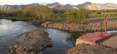
- Fish Passage
- Foundation Survey
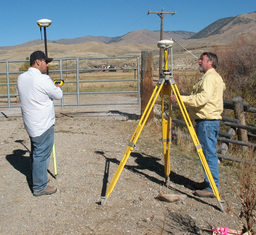
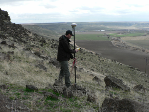
- GPS Surveying
- Habitat Restoration Surveys
- Hydrographic Survey
- Mine Control Survey
- Structural Survey
- Topographic Survey
GIS/Natural Resources Services
At Quadrant Consulting, Inc. we use GIS data for capturing, managing, analyzing, and displaying all forms of geographically referenced information in:
- Mapping
- Modeling
- Resource Assessment
- Change Detection
- Suitability Analysis
- Scenario Study
- Impact Assessment
